Geospatial
Learn Geospatial skills from top instructors

AulaGEO Academy
140 courses

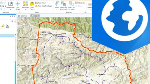
ArcGIS Pro - Arc Hydro for Watershed Management - AulaGEO
64
students
3 hours
content
Aug 2024
updated
$19.99

AulaGEO Academy
140 courses

Remote Sensing - fundamentals and applications - AulaGEO
2.6K
students
1.5 hours
content
Dec 2024
updated
$22.99

Andrés Salazar
9 courses

Introducción a SIG y Teledetección en Python
281
students
3 hours
content
Jun 2023
updated
$19.99

Pedro Planas
415 courses

Geospatial Data: Learn From Scratch
0
students
44 mins
content
Oct 2021
updated
$29.99

AulaGEO Academy
140 courses

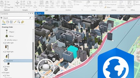
3D Data Management and BIM in ArcGIS - AulaGEO
84
students
3.5 hours
content
Oct 2024
updated
$19.99

Andrés Salazar
9 courses

Introduction to GIS and Remote Sensing with R
326
students
1 hour
content
Apr 2023
updated
$19.99

Tek Kshetri
7 courses

Geospatial data analysis with python
500
students
4.5 hours
content
Mar 2024
updated
$44.99

Andrés Salazar
9 courses
![SIG y Teledetección en R [Nivel Intermedio]](https://thumbs.comidoc.net/480/3833942_b390_5.jpg)
SIG y Teledetección en R [Nivel Intermedio]
175
students
2 hours
content
Mar 2024
updated
$19.99