WebGIS Application Development
Why take this course?
🌐 Course Headline: Unlock the Power of Geospatial Data with WebGIS Application Development
Greetings Future GIS Innovators!
Are you ready to dive into the world of WebGIS and transform how organizations interact with geospatial data? Our comprehensive online course "WebGIS Application Development" is tailored for you! Whether you're a GIS enthusiast or a developer eager to expand your skillset, this course will equip you with the knowledge and tools needed to create robust enterprise GIS portals. 🌍💻
Who Should Attend?
- GIS Enthusiasts: Passionate about geospatial data and eager to explore its applications on the web.
- Developers: Looking to add WebGIS development to their skill arsenal and enhance their portfolio with cutting-edge GIS capabilities.
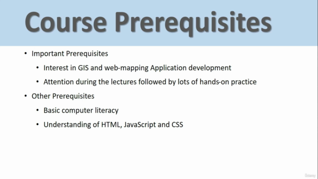
Course Prerequisites:
- A Graduate in any discipline, with a keen interest in GIS and application development.
- Basic understanding of HTML, CSS, JavaScript, and the fundamentals of GIS.
What You Will Learn:
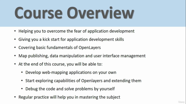
- Developing your own WebGIS application: With standard GIS functionalities that cater to diverse user needs.
- Installation and configuration of Open-Source software including PostgreSQL, GeoServer, and OpenLayers.
Course Content:
- Basics of HTML, CSS, JavaScript: Foundational web technologies for creating interactive WebGIS interfaces.
- Installation and configuration of PostgreSQL, PostGIS, and GeoServer: Master the backend to efficiently manage geospatial data.
- Detailed understanding of OpenLayers: Learn how to leverage this powerful open-source JavaScript library for interactive map display.
- Practical coding and development of WebGIS Portal: Bring your application to life with hands-on exercises that solidify your learning.
Training Outcome:
By the end of this course, you will have a fully functional WebGIS application running on your computer! This application will feature:
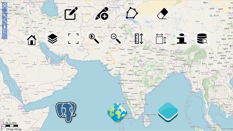
- Home page for user navigation and orientation.
- Pan and Zoom capabilities for intuitive spatial data exploration.
- A Layer Switcher and Legend View to manage different data layers.
- Search functionalities to quickly find relevant geographic information.
- Feature Info for detailed attribute queries.
- Measure Length and Area tools for precise geometric calculations.
- Attribute Query and Spatial Query options to interact with the spatial database.
- Editing over the web for real-time data updates and management.
This course is the perfect launchpad for anyone looking to create web GIS applications using modern technologies and frameworks. You will gain hands-on experience with web mapping libraries, learn to display and interact with spatial data on the web, and understand how to integrate these components into a cohesive application. 🧱➡️🌟
Course Structure:
Our course is designed for an engaging learning experience, blending lectures, demos, and hands-on exercises. We're excited to guide you through this journey of mastering WebGIS application development. Your adventure in geospatial data innovation begins here! 🧭
Thank you for considering this course as your pathway to becoming a proficient WebGIS developer. We look forward to welcoming you into the community of GIS professionals and pioneers who are shaping the future with spatial data analytics and visualization. Let's get started on this map to mastery together! 📍🚀
Course Gallery
Loading charts...