Flooding Risk Assessment with Hec-Ras, Hec-HMS, QGIS

Why take this course?
🌊 Master Flooding Risk Assessment with Open-Source Tools: A Comprehensive Hec-Ras, Hec-Hms & QGIS Course
Course Title:
Flooding Risk Assessment with Hec-Ras, Hec-HMS, QGIS
Course Headline:
Using Open Source Softwares Freely Available to Develop a Methodology for Flood Risk Assessment
Course Description:
Are you struggling to find an accessible and affordable course on Flooding Risk Assessment using open-source software like Hec-Ras, Hec-Hms, and QGIS? You're not alone. Traditional training can be out of reach for many professionals, but quality learning should be within everyone's grasp. That's where our course shines! 🌟
Why Choose This Course?
- Affordable Access: No need to break the bank for quality training. Our course is designed to be accessible and affordable for all professionals, from planners and architects to property investors and developers.
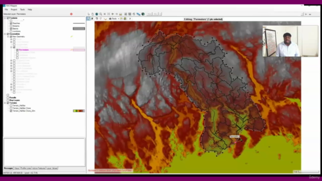
- Real-Life Application: Learn by doing with actual spatial data from Halifax, Nova Scotia, providing a hands-on experience that you can apply directly to your projects.
- Flexibility & Versatility: You'll learn how to use these tools with your own datasets or any location of your choice, giving you the flexibility to analyze flood risks wherever you operate.
- State-of-the-Art Software Skills: Master open-source software like QGIS, Hec-Ras, and Hec-Hms, which are essential for professionals in urban planning, environmental science, and civil engineering.
- Practical Methodology Development: From the basics to the advanced level, this course will guide you through every step to become proficient in building a methodology from scratch using these powerful tools.
What You Will Learn:
- Identifying Flooding Areas: Conduct comprehensive Flood Risk Assessments (FRA) to identify potential flooding risks on new or existing sites.
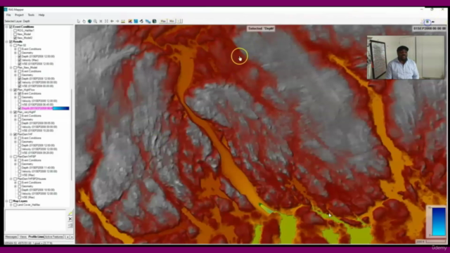
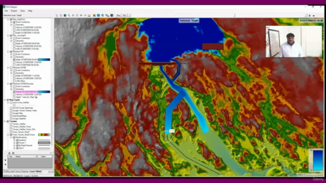
- Inundation Mapping: Produce detailed inundation maps that show the extent of flooding from various scenarios, including dam failures or severe weather events.
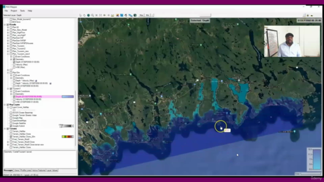
- Hazard Identification: Learn to recognize and assess hazards such as flooding, surge, wave action, and Tsunami impacts on coastal communities.
- Real-World Data Application: Utilize actual spatial data to understand the implications of your analysis in real life scenarios.
- Spatial Data Analysis: Start applying spatial data analysis to your own projects immediately, using open-source software that is freely available online.
Who Is This Course For?
This course is ideal for:
- Planners and Urban Designers
- Architects and Engineers
- Environmental Scientists
- Property Developers and Investors
- Local Government Officials
- Anyone involved in land development or environmental management who needs to understand the risks of flooding.
Course Structure & Benefits:
- Step-by-Step Learning: From the basics of each software tool to advanced techniques, you'll be guided through every step of the process.
- Expert Instructor Support: I'm here to support you throughout your learning journey. You'll have direct access to me for any questions or assistance you need.
- Practical Project Work: Apply what you learn in real-time with a hands-on project, using spatial data from Halifax, Nova Scotia.
- Lifelong Skills: Gain the skills and knowledge to perform Flood Risk Assessments for years to come, ensuring that your projects are safe and sustainable.
Enroll Now and Take the First Step towards Mastering Flooding Risk Assessment with Open Source Tools! 🌟
Don't miss this opportunity to enhance your professional skill set with a course that combines practical application with accessible learning. Sign up today and let's embark on this journey together! 🚀
Course Gallery


Loading charts...