Quizz for 3D Point Clouds & LiDAR

Why take this course?
🌟 Course Title: 3D Point Clouds & LiDAR: The Ultimate Quiz Challenge
Headline: Test Your Knowledge and Skills in LiDAR Mission Planning, Acquisition, and Processing of 3D Point Clouds Data
🚀 Course Description:
Embark on an exhilarating journey into the realm of LiDAR (Light Detection and Ranging) technology with our quiz-based course designed to test and refine your expertise in the intricate world of 3D point clouds. This is not just another online learning experience; it's a dynamic platform where theory meets practice, challenging you to apply your knowledge in real-world scenarios.
Why Enroll?
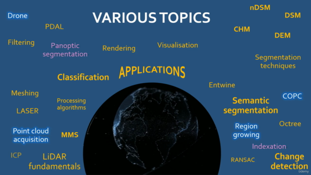
- Comprehensive Curriculum: Covering all facets of LiDAR technology, from the basics of acquisition to advanced processing and application techniques.
- Interactive Learning: Engage with a series of quizzes that will keep you on your toes, ensuring you understand each concept before moving on to the next.
- Skill Assessment: Determine your level of expertise and identify areas for improvement in the vast field of 3D point cloud data processing.
- Real-World Applications: Explore the myriad ways LiDAR is used in various industries, including urban planning, environmental monitoring, and land surveying.
- Immediate Feedback: Receive instant feedback and explanations for each quiz question to deepen your understanding and enhance your learning experience.
What You Will Learn:
- The principles behind LiDAR technology and the components that make it work.
- Techniques for capturing accurate 3D point cloud data using lidar and photogrammetry.
- Advanced processing skills, including data cleaning, filtering, registration, and feature extraction.
- Practical considerations when planning a lidar mission, ensuring optimal data capture conditions.
- The diverse applications of lidar and how it can be leveraged in different industries.
Who Should Take This Course?
This course is tailored for:
- Beginners: Looking to lay a solid foundation in LiDAR technology and 3D point clouds.
- Professionals: Seeking to validate their expertise, stay up-to-date with the latest advancements, or explore new applications.
- Students: Eager to supplement their academic learning with practical, hands-on experience.
- Enthusiasts: Who are fascinated by geospatial technologies and eager to expand their knowledge base.
📢 Course Structure:
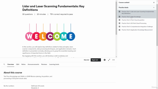
- Quiz Modules: Each module presents a set of challenging questions designed to test your understanding of the material.
- Progress Tracking: Monitor your progress through the course, identifying strengths and pinpointing areas for improvement.
- Engaging Format: With interactive elements that bring the world of LiDAR to life, you'll never be bored while learning!
Ready to take your understanding of 3D point clouds and LiDAR technology to the next level? 🤓 Enroll in "3D Point Clouds & LiDAR: The Ultimate Quiz Challenge" today and become a master in mission planning, data acquisition, and processing with cutting-edge lidar technology!
Course Gallery


Loading charts...